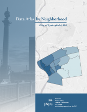
A product of LiveWell Springfield, PVPC produced a data atlas examining the health and well being of the people in Springfield, MA. Data is examined through long term trend comparisons to the region and state, as well as through neighborhood comparison maps.
Published on 9/23/14, this is the first version of this report and may be modified slightly over time.
Maps and images are available as PNG image files that you may download and use in your own reports and grant applications. See .zip files below for download.
Interactive versions of the neighborhood maps are available through the LiveWell Springfield Map Gallery here.
Documents:
Springfield Data Atlas 9-23-14-web-reduced.pdf
Springfield Data Atlas by Neighborhood
Springfield Data Atlas by Neighborhood - product of LiveWell Springfield
Associated Communities:
Springfield
